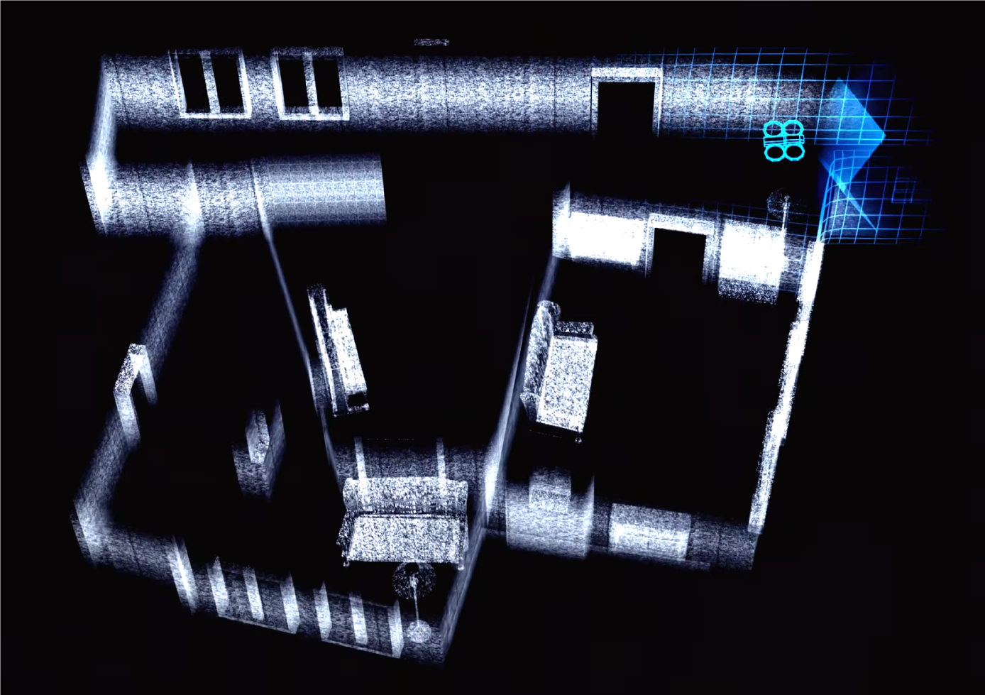
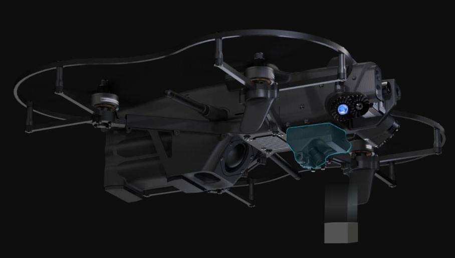
Time is of the essence in critical missions, and having an accurate map of your surroundings can make all the difference. The Lemur 2’s onboard LiDAR system offers real-time environmental scanning, generating live, precise 2D floor plans as it moves.
With over 570,000 data points collected per second, the drone builds a comprehensive map of even the most cluttered or challenging environments. This real-time mapping capability not only enhances visibility for remote operators but also supports teams working on the ground, helping them strategize their next move with accurate, up-to-the-second data.
In a collapsed building scenario, for instance, the drone’s LiDAR data can reveal blocked passageways or the safest path forward, saving lives by streamlining search and rescue efforts.


