No Products in the Cart

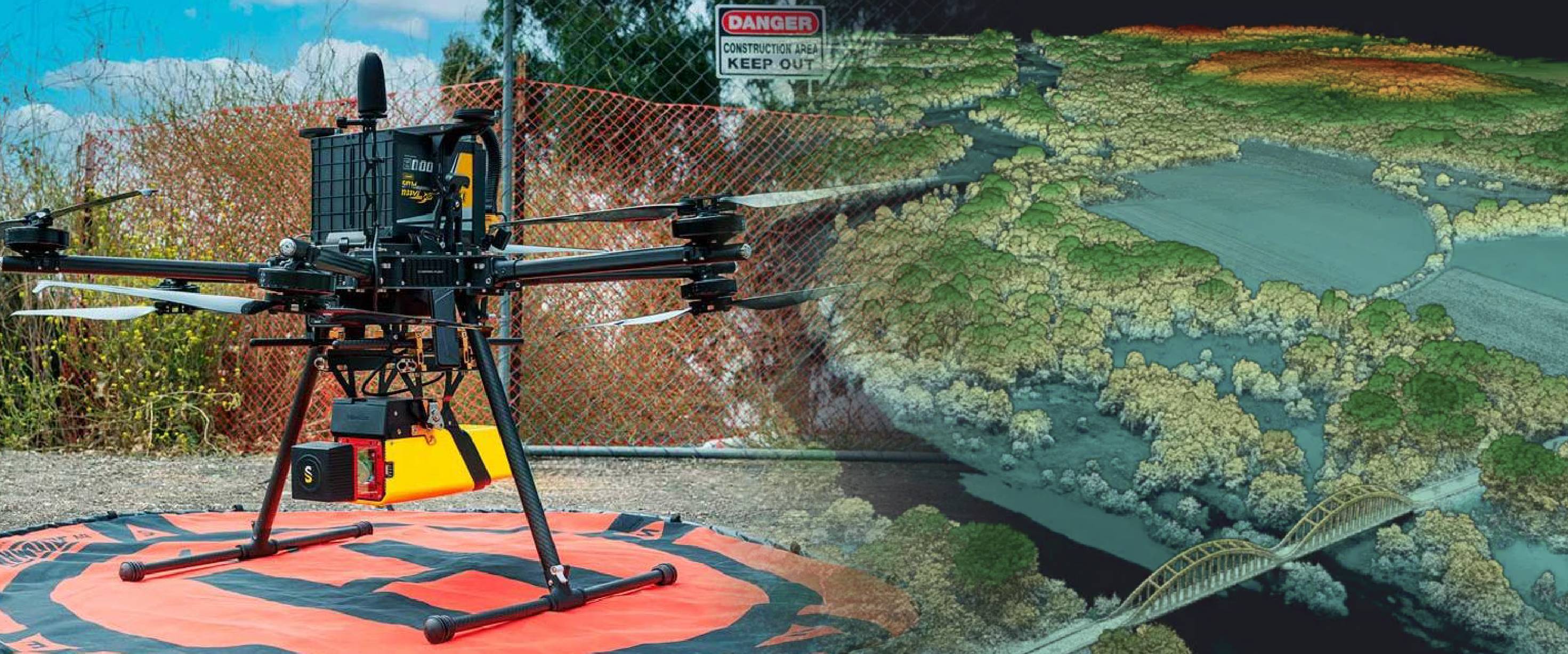
Aerial Lidar systems offers many advantages compared to traditional field-based methods for biomass estimation. To begin with, its spatial resolution allows for precise biomass assessment even at smaller scales, thanks to its ability to capture the intricate 3D structure of forests in fine detail. Lidar's non-invasive approach eliminates the need for destructive tree sampling, aligning with eco-friendly data collection practices.
What's more, Lidar technology expedites data acquisition, leading to reduced time and costs associated with conventional fieldwork. Its highly automated data processing procedures serve to minimize the potential for human error throughout the estimation process, further enhancing the reliability of biomass assessments.
Estimating biomass using Lidar involves a step-by-step workflow:
The first step is to collect Lidar data. This can be done using various platforms, such drones, or ground-based Lidar systems. The collected data consists of millions of 3D points in a point cloud.
Raw Lidar data often requires pre-processing to remove noise and classify ground and non-ground points. Software tools like the GreenValley LiDAR360 and YellowScan CloudStation are frequently used for this purpose.
Outliers are frequently encountered as a common type of noise in unprocessed LiDAR datasets. High-level outliers occur when tall objects like birds or aircraft pass through the laser scanner's view during data collection. Low-level outliers are returns with very shallow angles due to a multipath effect that affects the time it takes for the laser pulse to return to the scanner after the initial reflection. After pre-processing, you need to filter the point cloud to retain only the vegetation points. This step is critical to focus on the relevant data for biomass estimation.
A Canopy Height Model (CHM) is created by subtracting the Digital Terrain Model (DTM), representing the ground surface, from the Digital Surface Model (DSM), representing the canopy surface. The CHM provides information about the height of the vegetation, which is crucial for biomass estimation.
Individual trees are segmented from the CHM to create tree crown polygons. Various algorithms, including region-growing or watershed segmentation, are employed for this purpose.
Once you have segmented individual trees, you can apply biomass estimation models. Common models include allometric equations that relate tree characteristics like height, diameter, and crown area to biomass. Lidar-derived metrics such as tree height from the CHM and point density are often incorporated into these models to enhance accuracy.
It's crucial to validate the biomass estimates derived from Lidar data. Field measurements of biomass can be compared with Lidar-derived estimates to assess the accuracy of the method.
The final step involves interpreting the biomass estimates and creating visual representations, such as biomass maps and 3D visualizations. Click here for an in-depth tutorial of the GreenValley LiDAR 360.
Lidar technology has revolutionized the field of biomass estimation by providing high-resolution 3D data that can be used to estimate biomass accurately. By following the workflow outlined in this blog, researchers and forest managers can harness the power of Lidar to make informed decisions and contribute to sustainable forest management and conservation efforts.