+1 866 300 9012   contact@measur.ca
SHOPPING CART

No Products in the Cart

TOTAL:
$0.00

Top 3 DJI Mavic 3 Multispectral Features

DJI has launched the new Mavic 3 Multispectral, a high-precision and efficient agriculture mapping machine. The two-in-one system integrates a multispectral camera featuring four, 5 MP lens, and an RGB camera equipped with a 4/3-in CMOS, 20 MP image sensor. It is a mechanical shutter with a maximum speed of 1/2000 giving it an impressive shooting interval of 0.7 seconds.


Each of its four multispectral cameras can capture 5 million pixels and scan:

- Green (G): 560nm ± 16nm

- Red (R): 650 nm ± 20 nm

- Red edge (RE): 730 nm ± 20 nm

- Near-infrared (NIR) 860 nm ± 26 nm


Thanks to the combination of these two cameras, the Mavic 3 Multispectral is ideal for high-precision aerial surveys, crop growth monitoring, and natural resource surveys.

A revolutionary tool for farmers and agronomists

From ground-like aerial surveys on mountain forests to efficient crop treatment, the Mavic 3 Multispectral along with the DJI Smart Platform generate NDVI vegetation index to gather precise data that helps crop managers save money by enabling them to quickly identify problems and improve crop yields.

While it is lightweight and portable with a weight of 951 grams, the Mavic 3 Multispectral is packed with features. Its omnidirectional vision sensors detect obstacles in all directions and help avoid them accurately. Built-in terrain-follow makes aerial surveying easy even in the most difficult environments.

The Mavic 3 Multispectral offers a battery life of up to 43 minutes allowing to complete a survey of 2 square kilometers in a single flight. With this agriculture drone, monitoring and detecting crop abnormalities can be performed by a single person for up to 70 hectares of land. It is also important to highlight, the microsecond synchronization between the drone, its camera and RTK module, achieved to accurately obtain the position information of the imaging center of each camera, and perform high-precision aerial surveying without the use of ground control points.

Top 3 features of the Mavic 3 Multispectral:

1. Sunlight sensor for consistent and accurate data

The Mavic 3 Multispectral has a built-in light sensor on the back of its airframe that takes solar irradiance readings to be used to calibrate and normalize your multispectral data. This is important due to the daily weather changes that can affect the clarity of your NDVI results. By adjusting for sunlight levels, you get more accurate NDVI results regardless of the weather or season. 

2. Integrated high-resolution RGB with RTK for high-accuracy mapping

Working with centimeter-level accuracy is crucial to obtain quality data for detailed and accurate planning. Whether your are creating photogrammetry assets or gathering multispectral data the Mavic 3 Multispectral integrated with the RTK module enables you to complete surveys with no ground control points required. As a result, this combination will further improve daily operations, reducing errors, and increasing efficiency across the board.  

3. Most portable and lightweight agriculture drone camera in the world
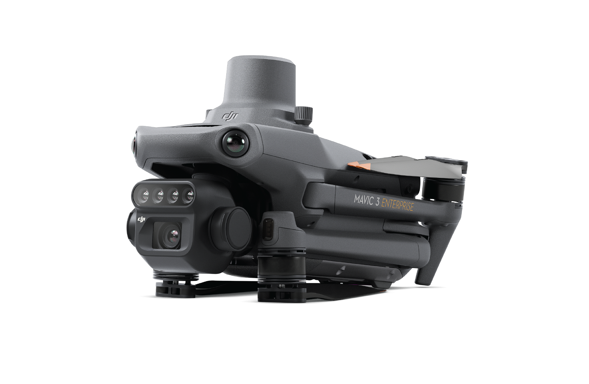
Countless benefits can be derived from a small, compact and foldable camera drone. The Mavic 3 Multispectral has it all from a longer battery life to easy transportation. It is the smallest agriculture mapping drone in the world, yet one of the most powerful with high-resolution multispectral and RGB cameras.

DJI Mavic 3 Multispectral

For industry leading technology within the commercial UAV drones, contact a member of our team today to find the right equipment for your application.

CONTACT US

Want to get in touch with us? Just fill out the form below and we'll get back to you ASAP.

BACK TO TOP