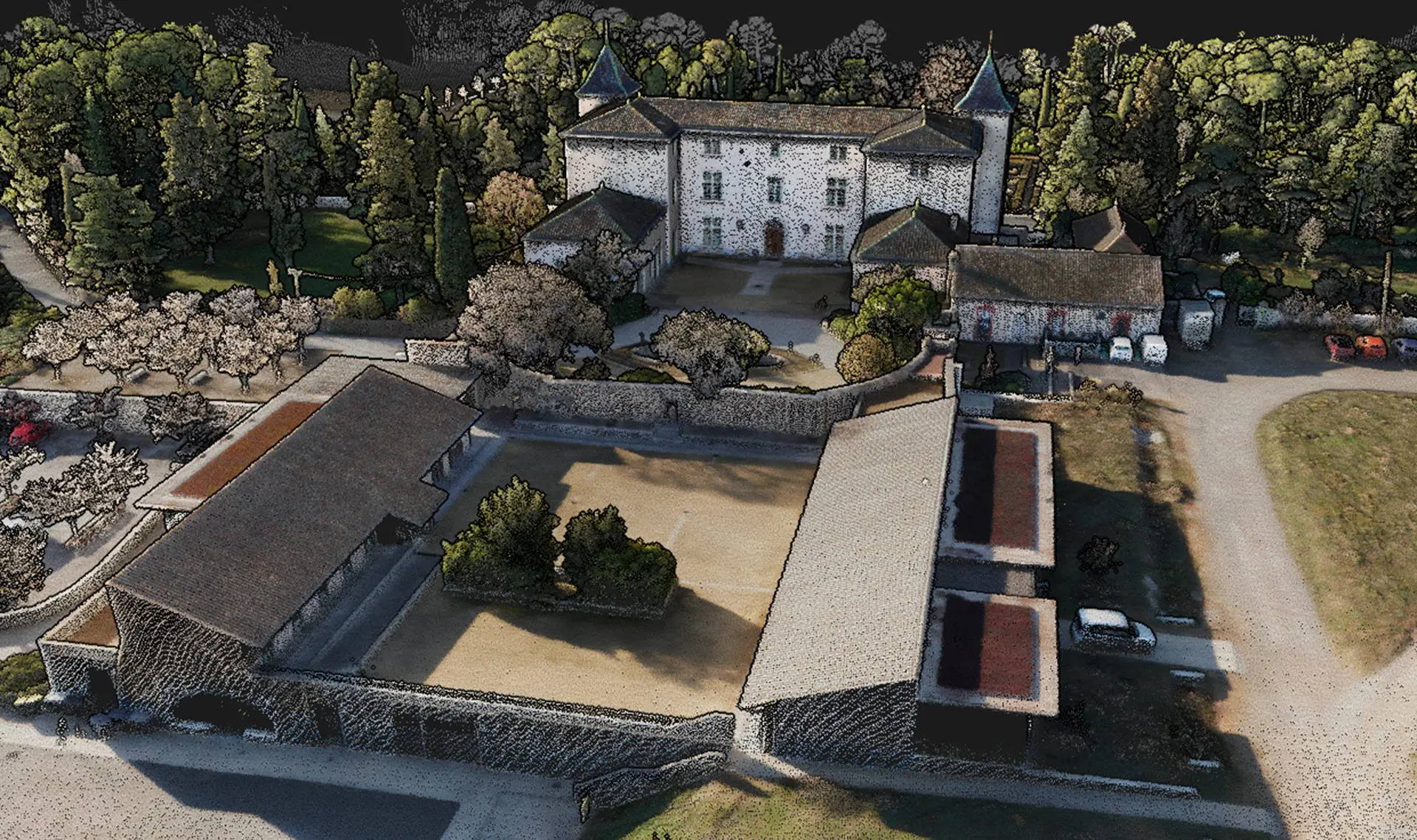
The
YellowScan Voyager boasts technical features that offer significant advantages across a range of professional applications. In
surveying and mapping, its high point density and precision are key for producing accurate topographic maps, land surveys, and construction site plans. In
environmental monitoring, the Voyager excels at capturing detailed terrain and vegetation data, making it ideal for tracking ecosystem changes, assessing environmental shifts, and managing natural resources. For
infrastructure inspection, professionals benefit from its high-resolution data, which enables precise measurements and detailed assessments, significantly reducing the risk of errors. In
forestry management, the Voyager’s ability to operate at varying altitudes and capture both LiDAR and photographic data makes it a valuable tool for forest inventory, canopy analysis, and biomass estimation.
In conclusion, the YellowScan Voyager is a highly specialized tool designed to meet the rigorous demands of professional tasks. Its advanced technical features, combined with its versatility and reliability, make it an indispensable asset for professionals in geospatial, environmental, and infrastructure sectors. By leveraging the Voyager’s capabilities, users can complete more mission profiles with confidence and deliver superior results to their clients.


